Heim
›
Routenbibliothek
›
Z+ (Telkibánya – Kéked)
📍 SK
Z+ (Telkibánya – Kéked)
🥾 0 passieren
🧭 0 Reisen
📍 0 Stifte
📸 0 Fotos
⚠️
Aktuelle Community-Warnungen
erweitern ▾
📋 Info
🌤️ Wetter
📸 Fotos
📍 Stifte
💬 Kommentare
🎒 Praktische Informationen
POI im 500m-Puffer um die Strecke. Angegebene Entfernung vom Startpunkt.
🥾
Pieszo / Trekking
Aktivität
🌲 Drzewostan i Przyroda Szlaku
Buczyna karpacka (Dentario glandulosae-Fagetum)
Dzika puszcza wschodniokarpacka o majestatycznych starych bukach i jodłach.
📊 Procentowy skład gatunkowy drzewostanu:
🍂 Buk zwyczajny (Fagus sylvatica)
55%
🌲 Jodła pospolita (Abies alba)
25%
🌳 Jawor (Acer pseudoplatanus)
12%
🌲 Świerk pospolity (Picea abies)
8%
🌿 Flora runa leśnego i dzikie zioła:
🌱 Czosnek niedźwiedzi
Allium ursinum
Wiosenne dzikie ziele kulinarne i lecznicze o czosnkowym aromacie.
🌱 Żywiec gruczołowaty
Dentaria glandulosa
Wskaźnik pradawnych buczyn karpackich, kwitnie fioletowo.
🌱 Mięta długolistna
Mentha longifolia
Pachnące dzikie ziele spotykane przy leśnych potokach.
🍄 Występujące grzyby jadalne:
🍄 Borowik szlachetny
🍄 Koźlarz grabowy
🍄 Opieńka miodowa
🍄 Rydz
Wegbeschreibung
🧭 Trasy w pobliżu
Z (Telkibánya – Regéc)
📏 15,2 km
💪 Średnia
📍 0,0 km stąd
Z■ (Hatvanas-nyereg)
📏 1,8 km
💪 Średnia
📍 1,7 km stąd
P+ (Páloskolostor-rom – Gönc)
📏 4,5 km
💪 Średnia
📍 2,4 km stąd
S● (Mátyás király kútja)
📏 0,1 km
💪 Średnia
📍 3,7 km stąd
Z▲ (Reszelt-bérc)
📏 0,3 km
💪 Średnia
📍 3,7 km stąd
PT, Aranyásók útja (hosszú)
📏 8,3 km
💪 Średnia
📍 3,7 km stąd
🌤️ 7-Tage-Vorhersage
Prognose für den Startpunkt (48,49°N, 21,35°E)
⏳ Prognose wird geladen...
📡 Daten von Open-Meteo.com. Ungefähre Vorhersage, kann je nach Bergbedingungen abweichen.
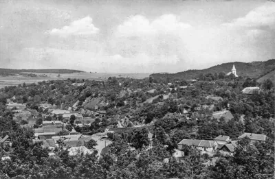
Nagy utca, és várhegy | Autor: Nvkptrjns | Licencja: CC BY-SA 3.0 | Źródło: Wikimedia Commons
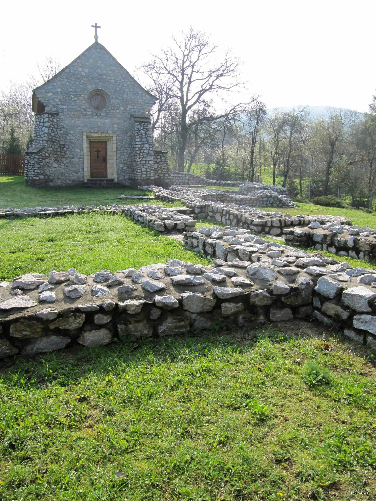
Szent Katalin Ispotály és Kápolna.jpg | Autor: Own work | Licencja: CC BY-SA 3.0 | Źródło: Wikimedia Commons
Unitárius templom homlokzati felirata. | Autor: Nvkptrjns | Licencja: CC BY-SA 3.0 | Źródło: Wikimedia Commons
Mercedes-Benz Intouro autóbusz Telkibányán a 3929-es helyközi vonalon. | Autor: SzSzili01 | Licencja: CC BY-SA 4.0 | Źródło: Wikimedia Commons
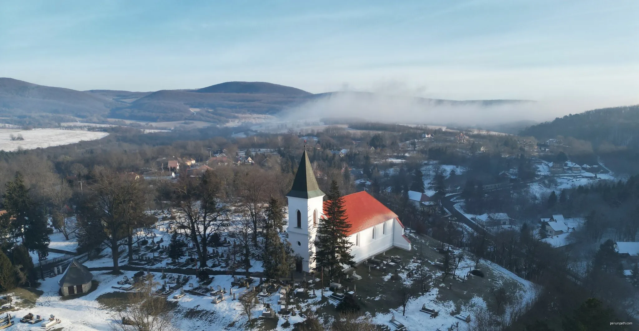
The small church of Telkibánya on the hill of the fortress, in the middle of the Zemplén Mountains. | Autor: OrthoImagery | Licencja: CC BY-SA 4.0 | Źródło: Wikimedia Commons
Markierungen auf der Route
Benutzer können Markierungen hinzufügen, um den Trailstatus anzuzeigen.
Einloggen , um Tags hinzuzufügen
Keine Tags. Seien Sie der Erste, der Informationen über den Zustand der Strecke hinzufügt!


 Zainstaluj PerunPath
Kommentare (0)
Keine Kommentare. Seien Sie der Erste!